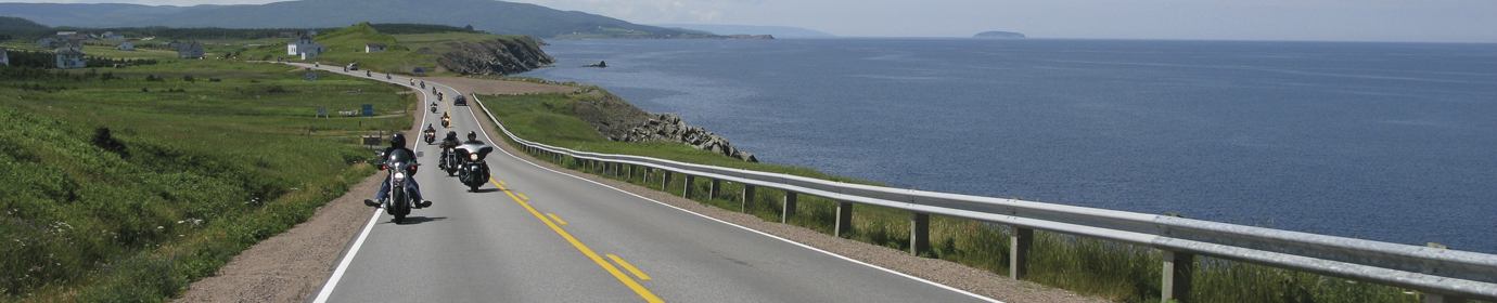
Prince Edward Island has been a favourite vacation destination for decades and has often been referred to as “The Gentle Island’.
Moreover, here you will find an ambience that takes you back to simpler times, when the fast pace of today’s technology did not exist.
In addition, you may find yourself surprised to be content just simply enjoying the rolling landscapes and endless ocean views. Similarily you may just want to kickback and dig your toes into the beaches surrounding the island. Relaxing is what vacation is all about!
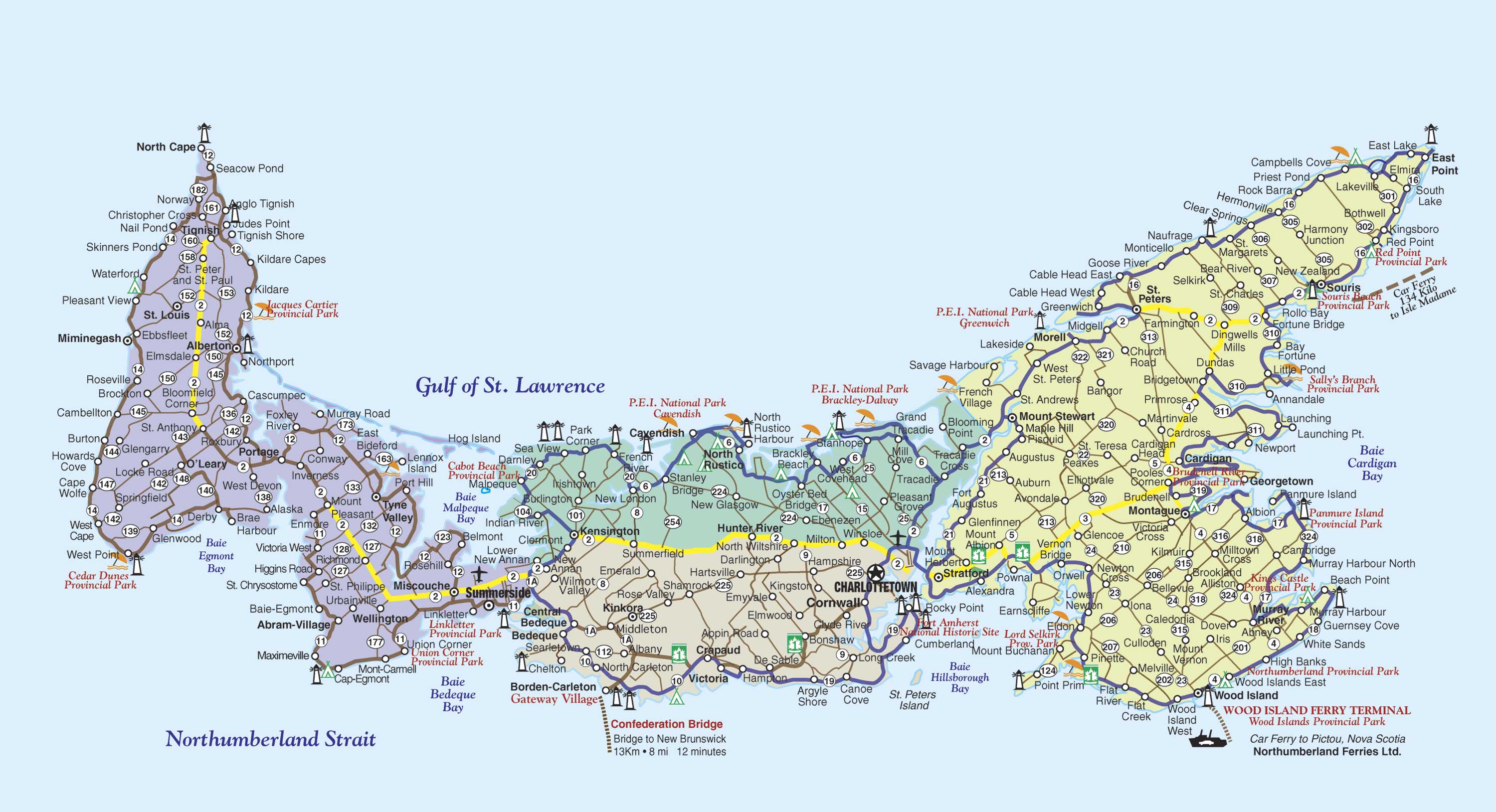
Map©Motorcycle Tour Guide Nova Scotia & Atlantic Canada – no reproduction permitted without permission
Prince Edward Island lies off the coasts of Nova Scotia and New Brunswick. The island is easily accessed by bridge or vehicle ferry. Please note that there is a toll fee when leaving the island by bridge.
Crossing the Confederation Bridge from Cape Jourimain, New Brunswick leads to Borden-Carleton. Take a break at Gateway Village for photos of bridge. You are located midway along the bottom of the island on the Central Coastal Drive – Red Sands Shore.
Or travel by sea aboard a vehicle ferry from Pictou, Nova Scotia to Wood Island, located along the bottom east coast of the Points East Coastal Drive.
Prince Edward Island is comprised of 4 distinct regions or trails, each described below.
For info on where to Eat, Stay & Play click each area.
The Red Sands Shore, part of the Central Coastal Drive